mamooth
Diamond Member
No I know EXACTLY what a "lead" is.
No, you apparently don't, being you seem to think they require warm temperatures.
When was the last time there was a lead at the north pole?
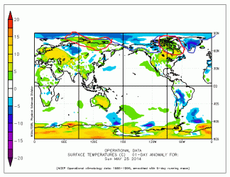
Um ... 2014?
EH2R - latest work in progress: Huge near North Pole leads
Westwall, you just stink at the basics. When will you start to understand your own limitations? Remember, there's no shame in being dim, as I'm sure you make up for it by being such a nice person.
 Funny how there are no leads in these photo's....