![adjustocene_scr.jpg](https://wattsupwiththat.files.wordpress.com/2016/01/adjustocene_scr.jpg?w=720)
nope, you never can tell what the temperature will be.
things are slow so I checked out Steve Goddard's blog and found this
![Screenshot-2016-01-30-at-01.30.05-PM-1024x580.png](https://i1.wp.com/realclimatescience.com/wp-content/uploads/2016/01/Screenshot-2016-01-30-at-01.30.05-PM-1024x580.png)
he says its from NOAA data but I cannot access NOAA. so I checked a few other places.
GISS v2
![station.gif](/proxy.php?image=http%3A%2F%2Fdata.giss.nasa.gov%2Ftmp%2Fgistemp%2FSTATIONS%2Ftmp_425723200010_1_0%2Fstation.gif&hash=5f46215cb11b842968c3695017eb6d8c)
GISS v3
![station.gif](/proxy.php?image=http%3A%2F%2Fdata.giss.nasa.gov%2Ftmp%2Fgistemp%2FSTATIONS%2Ftmp_425000976000_14_0%2Fstation.gif&hash=1f5abcb7cb4c308c7eedbc58a3acc6fe)
dont forget to notice the change in temp range on the y axis
BEST graph
![29255-TAVG-Comparison.png](/proxy.php?image=http%3A%2F%2Fberkeleyearth.lbl.gov%2Fauto%2FStations%2FTAVG%2FFigures%2F29255-TAVG-Comparison.png&hash=7bfb340a2421d8f05520d3c723606de1)
Mean Rate of Change ( °C / Century )
Raw monthly anomalies -0.65
After quality control -0.62
After breakpoint alignment 0.44
Regional expectation during same months 0.57 ± 0.17
National average during same months 0.90 ± 0.11
Global land average during same months 1.01 ± 0.05
hahahaha. BEST goes from -0.62C/century for quality controlled data to +0.44C/century for homogenized data. WOW!!!!
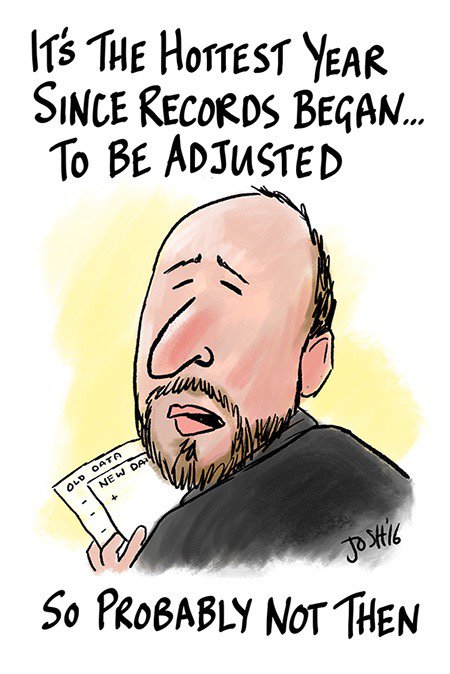
welcome to the Adjustocene Era.